Gilford NH Real Estate
Settled in 1778 and originally a part of Gilmanton, Gilford was first called Gunstock Parish. The Town has a total area of 53.7 square miles. Belknap Mountain, elevation 2,384 feet is the highest point. Much of the town is includes the Gunstock River and Lake Winnipesaukee. New Hampshire Route 11 crosses the town from east to west, connecting Alton and Rochester to the east with Laconia to the west. NH 11 joins U.S. Route 3 near the western border of Gilford, and together they turn south on the Laconia Bypass, which is largely within the Gilford town limits, traveling southwest towards Tilton and Franklin. New Hampshire Route 11A is an alternate east-west route to NH 11, passing through the center of Gilford and by the entrance to Gunstock Mountain Resort. New Hampshire Route 11B leaves NH 11 near Sanders Bay on Lake Winnipesaukee and proceeds northwest to Weirs Beach in Laconia.
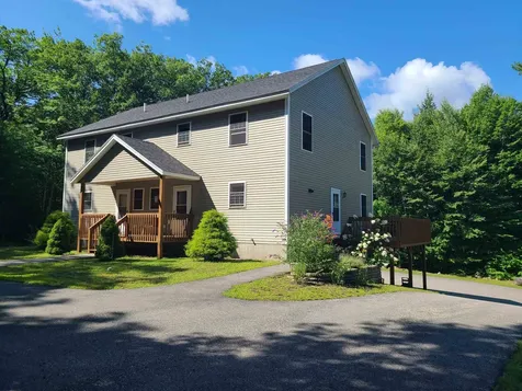
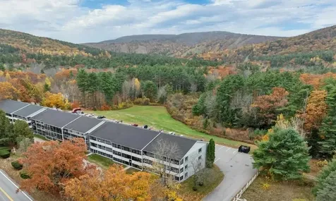
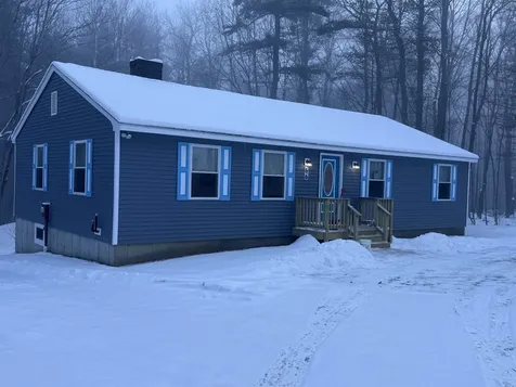
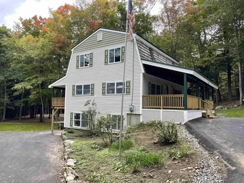
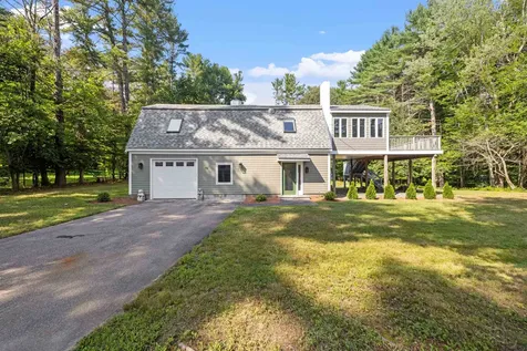
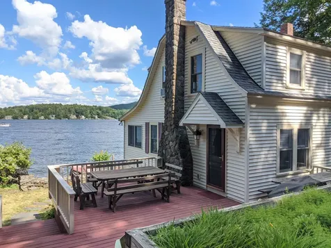
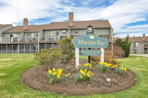
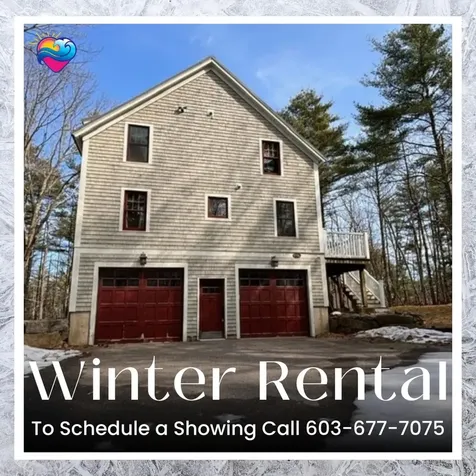
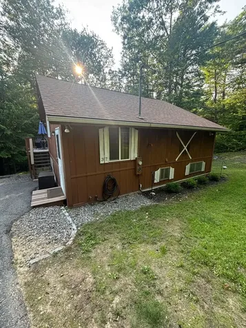
Explore Houses for Sale in Gilford New Hampshire
Scroll down to find current real estate for sale in Gilford, NH. Look through a variety of listings to find your new property. For more information or to schedule a showing, please feel free to contact us. You can also register with the site to save your favorite listings and to get email updates when new properties match your criteria.
You may also be interested in Nelson real estate


Copyright 2026 PrimeMLS, Inc. All rights reserved. This information is deemed reliable, but not guaranteed. The data relating to real estate displayed on this display comes in part from the IDX Program of PrimeMLS. The information being provided is for consumers’ personal, non-commercial use and may not be used for any purpose other than to identify prospective properties consumers may be interested in purchasing. Data last updated July 19, 2026 7:37 AM EDT